-
St Keverne, Porthallow & Porthoustock
Distance 4.6 miles. Elevation 673 feet. Time approx 2 hours.
Starting at St Keverne, just a short 5 minute drive from the hotel, this circular walk takes in the mid way point for the South West coast path at Porthallow Beach.
The route takes you from the ancient village of St Keverne, whose rich history includes the starting point for the Cornish Rebellion in 1497 led by Michael An Gof (meaning The Smith in Cornish), who led the Cornish Rebellion against Henry VII. You can see his statue at the entrance to the village and a memorial on the wall surrounding the church.
Passing through the village, the walk follows the footpath to the old fishing village of Porthallow, the mid way South West Coastal Path marker is situated on the beach here. The walk then returns along the coast path to the tiny hamlet of Porthoustock where you can see the large concrete silo once used to store stone from the nearby quarries.
From here you will head back to St Keverne through the Trenoweth Valley Woods.
-
Helford via Foot Ferry to Glendurgan & Trebah
Distance 5.9 miles. Elevation 656 feet. Time approx 3 hours.
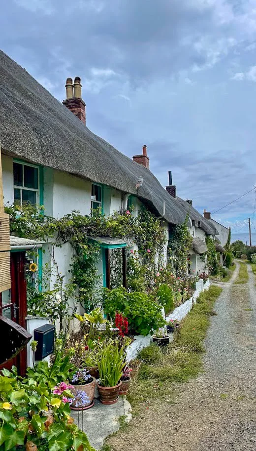
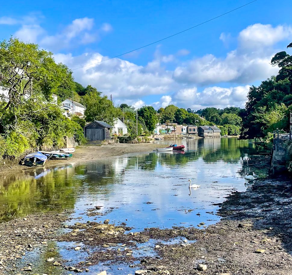
This beautiful walk starts in the picturesque Helford village, approximately 20 minutes drive from the hotel. After parking in the car park, the route takes you through the creekside thatched cottages of Helford village, past the Shipwrights Arms pub, to the foot ferry which runs between Helford Point and Helford Passage. Crossing the spectacular Helford River edged with ancient oaks and hidden creeks via the ferry is a truly magical and memorable experience.
The ferry operates from April to October and is dependent on weather and tide times so worth checking it is operating before setting off.
Upon landing at Helford Passage on the North side of the river, the walk takes you on to the spectacular, subtropical valley gardens of Trebah and Glendurgan. Both have cafes, gift shops and access to beaches where you can paddle or swim before heading back to the ferry for the return journey.
-
Porthallow, Carne & Gillan
Distance 6.4miles. Elevation 922 feet. Time approx 3 hours.
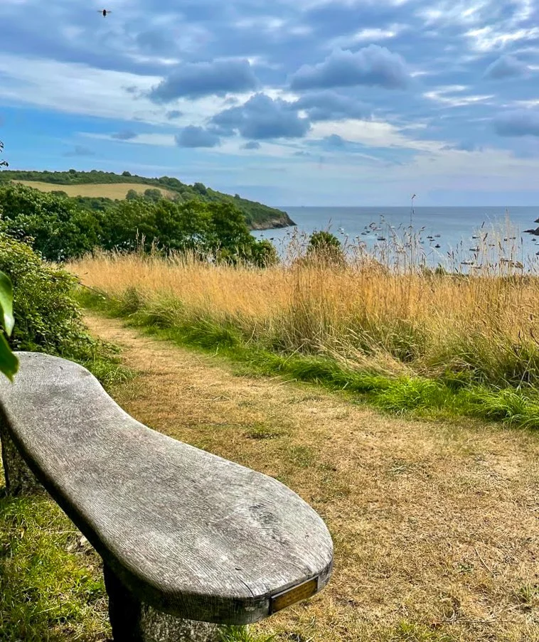
Starting at the mid way point of the South West Coast Path, this walk takes you through a wooded valley, alongside a river and onto the coast path enabling you to see a range of different landscapes and habitats.
Starting from Porthallow, approximately 15 minutes drive from the hotel, park at Porthallow Beach (payment is via an honesty box), before heading through woods and over fields towards views of Manacan Church tower nesting in the trees and glimpses of Falmouth Bay in the distance before reaching Carne. Here the path takes you alongside the wooded banks of Gillan estuary, across the small beach of Flushing and onto Gillan. Take advantage of the scenic views across the estuary from the seating areas situated along the walk.
The route carries on towards the old Coastguard lookout station at Nare Point, now managed by the National Coastwatch Institution where you can learn about maritime safety in the area.
Follow the coastal path along the high cliffs back towards Porthallow, where you can see a range of wild flowers, sea birds sweeping over head and spectacular views over the sea.